Orienteering
Navigation and Orienteering
Dinton Activity Centre has a series of navigation and orienteering activities, which are either self-led or instructor led.
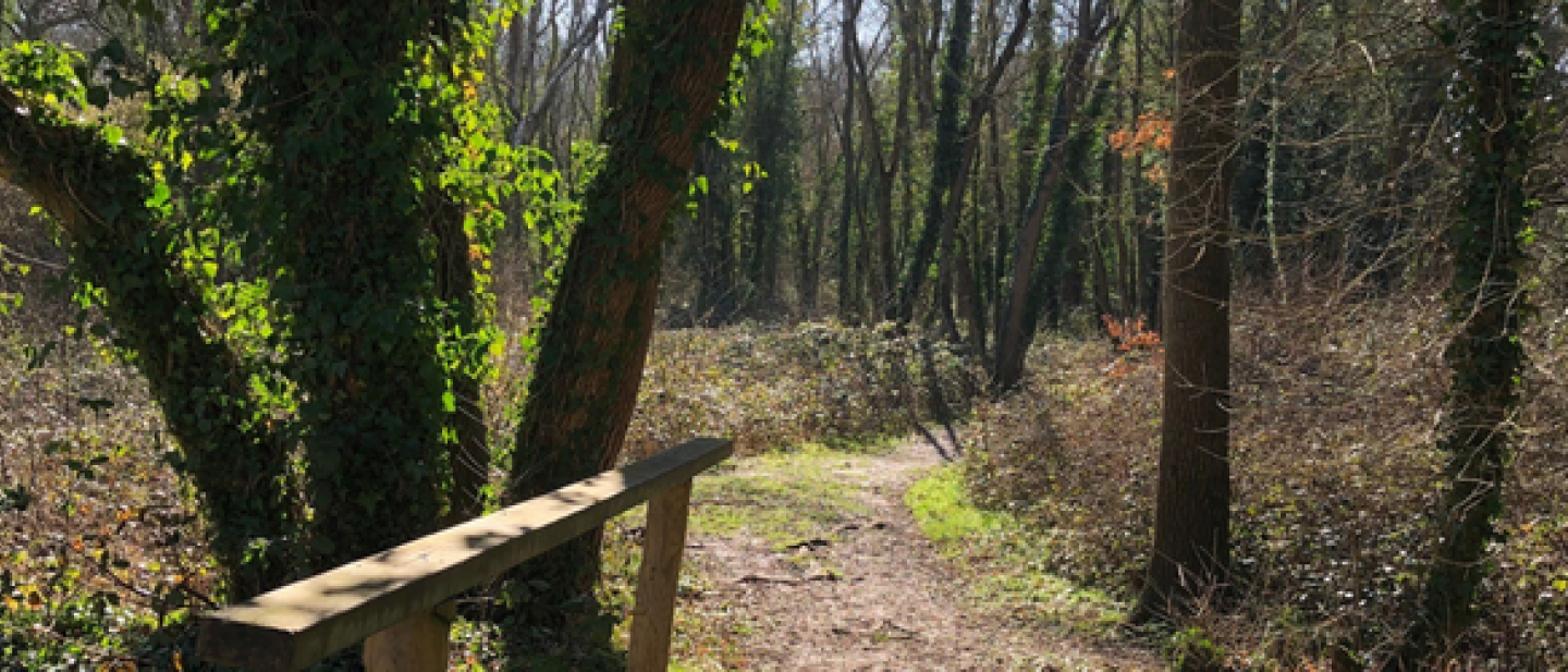
For a self-led exploration of the country park, download a map, print it off and away you go. Our full orienteering course is a 30 control point course and was built in association with the British Orienteering Federation. The course is spread across the country park, taking you around the lakes, across meadows and grassland and on a grand tour of our beautiful 400 acre site. There is also a possibility of exploring a shorter route, the last ten control points, 21-30, which is a recent addition to the course and keeps participants on meadow land and away from the main lakes and walking trails of the country park.
Another short route is the All Access Trail. This trail starts out from the main car park, continuing around our fantastic play park, along the lake and looping back to the car park, all on easy trails. This course is best suited to younger participants and is wheelchair and pushchair friendly.
Read more about instructor led navigation and orienteering on our Parties for Children and School and Youth pages.
Download your free navigation and orienteering maps
All downloads are in PDF format, so will work directly from a smartphone or tablet.
- The All Access Trail Map - short and easy access loop
- Dinton Pastures Full Course Map - full country park course
- Dinton Lea Heath Map - great for practicing your compass work
- Information Sheet
Don't peek at the answers, but when you are ready you can download a copy of those too. Orienteering Answer Sheet.